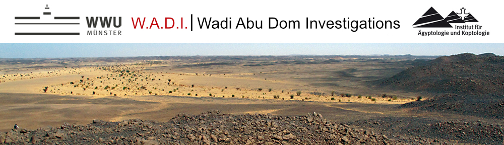
While continuing the survey on foot, we also began using remote sensing. Prospective sites defined using Google earth (as previously) are now entered simultaneously in the databank. Purposeful navigation of these points is subsequently necessary for evaluation, but the time saved in the field is noteworthy. The density of remains visible on the surface in mid-Wadi Abu Dom decreased; but, on the other hand, cemeteries with tumuli as large as 15m in diameter provided evidence for the presence of larger communities in antiquity.
Funding: Grant from the German Research Foundation (DFG); Qatar Museums Authority
Read or download the Excavation-Report of the Journal
DER ANTIKE SUDAN. ↓