Attention: Due to maintenance, acces the Web GIS may be temporarily unavailable. We apologize for any inconvenience.
Here you find our web GIS. It was developed in close cooperation with the Institute for Geoinformatics of the WWU Muenster. Here, the raw data of the survey project “Wadi Abu Dom Itinerary” are presented to the public.
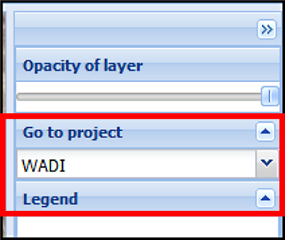 At the moment, this presentation platform is shared with the research project “Doliche” of the research center Asia Minor at the WWU Muenster. In future, the integration of other research projects is planned. At the right command column, you can jump to the different research areas by the drop-down menu “Go to project”.
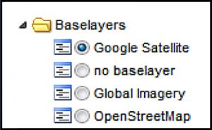 At the left side of the browser window you find the layer tree structure. Here, you can load and display different data sets as well as background maps, like Open Street Map or Google Earth.
All our survey data is stored in the directory “wadi”. It contains the subdirectories “features” (for point-shaped single archaeological records) and “sites” (for polygon-shaped larger areas of archaeological interest). You can select different categories of archaeological record for display, which can be shown on the map solitary or together with other categories. Exemplarily, the site of Umm Ruweim (already documented by first preliminary archaeological investigations) is displayed by detailed ground plans.
Because of the large amount of data, it cannot be avoided that the application consumes significant amounts of computational and network throughput resources. In the case the application does not react any more or content is not displayed correctly, re-loading the application by using the “refresh” button might solve the problem. If the application malfunction continues, please contact us via wadiprojekt@uni-muenster.de.
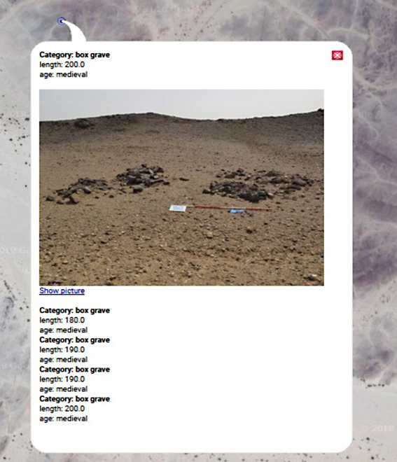 Besides the spatial distribution of archaeological records, also other information can be displayed. Simply click at the different symbols at the map, and a separate window with additional information (according to the category of the archaeological feature) will open. For selected features, also pictures are displayed.
In the case you have collected archaeological data in the region on your own, you can compare them temporally with ours. Please use the “upload” button at the left side. The web GIS is able to process the GPS exchange format (gpx) as well as the Google Earth standard format (kml). These data is displayed for your private comparative purposes only; it will not be stored permanently and cannot be viewed by other users (including the applications Administrators).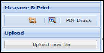 In the case you want to share your observations with us (either from travels the field or using Google Earth and similar programs), we would be happy if you contact us via wadiprojekt@uni-muenster.de.